A watery playground where a mountain stream has carved through giant boulders
| The Grotto Santa Monica mountains, Ventura county A watery playground where a mountain stream has carved through giant boulders |
| Thirty miles northwest
of L.A. in the Santa Monica mountains, and many miles out a twisty canyon road, is a
remote canyon where giant boulders have tumbled from tall peaks, stacking
up in a stream bed to create a place of caves, waterfalls and cascading
pools that stretch for hundreds of yards - called the Grotto. In the rainy season, it's a wild torrent apparently, but I was expecting little if any water on this hot SoCal summer day. Still, clamboring over boulders in a shady mountain stream sounded like a perfect way to cool off. |
There
is a closer hike to the Grotto from the Circle X Ranch, a public park
facility a short distance west on Yerba Buena from this trailhead. But I wanted to get the
whole experience of the canyon from top to bottom- about 6-7 miles round
trip on Canyon view and Grotto trails. Also, I don't like having to
worry about getting back to my car before gates are locked for the evening. A beautiful Sunday near LA, and in my four hours hiking down and back up, I met only six and one half people. |
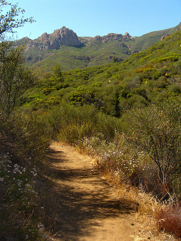
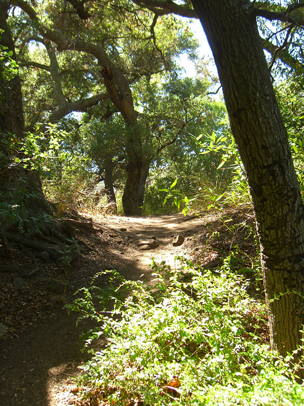
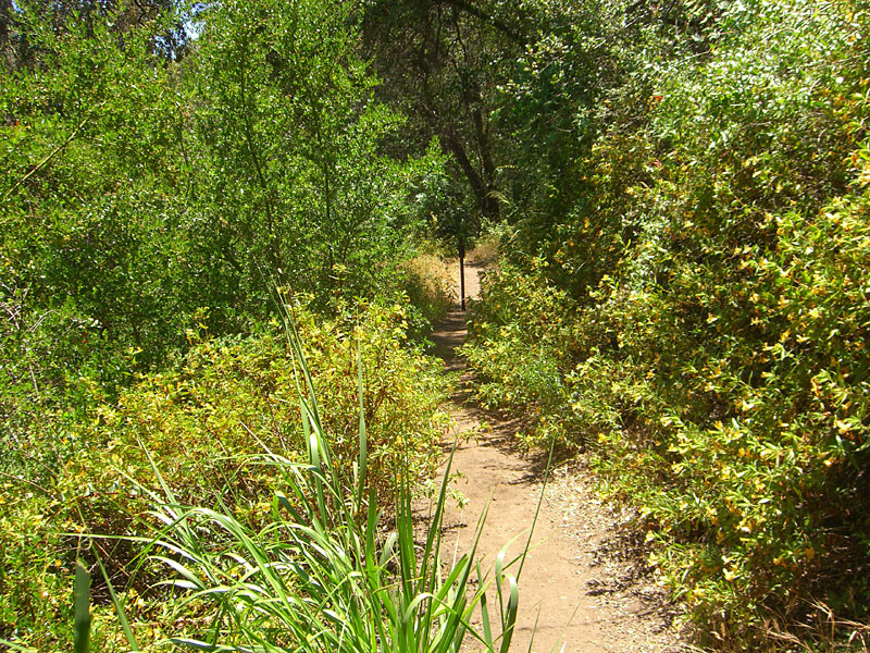
| Canyon View trail starts
across the road from the parking lot entrance and is well-maintained
and easy to follow most of the way It intersects with the Grotto trail
coming from the Circle X Ranch about 2 mi. in. You approach the grotto
from above and the trail pretty much stops on top. To get to the lower
Grotto, stay to the right and make your way along the canyon wall up
and over a steep and slippery section. Below the Grotto, there is no
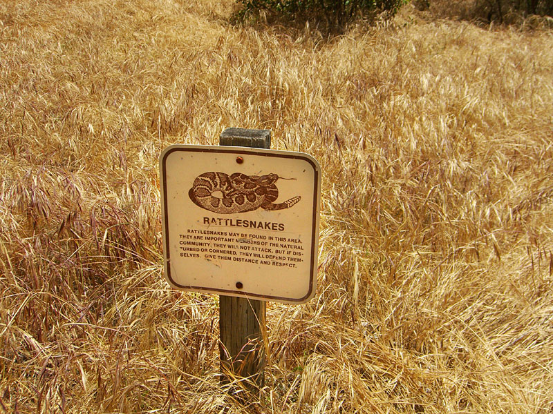
more trail, but there are some interesting trees and rock formations. Be alert for rattlesnakes, poison oak and ticks. |
|
| STATISTICS |
| The GrottoSanta Monica mountains, Ventura county Height: Approx. 1400 ft. Elevation change: Approx. 500-600 ft. Distance: 3 - 3.5 mi. one way Duration: 1.5 - 2 hrs one way Difficulty: Moderate. Water availability: A trickle in the summer. |
| From San Fernando valley in Los Angeles, take Hwy. 101 north to the town of Westlake Village. Exit Hwy 23 south/Westlake Blvd., T/L (southwest) over freeway. Follow Westlake Blvd. 10-15 miles up the mountain, where it becomes Mulholland Hwy. Go 6-7 mi.on twisty Mulholland and T/R at stop sign, staying on Mulholland. About one half mi., T/R Little Sycamore Canyon Rd. and go 15 mi. or so. After a few miles, LSC road becomes Yerba Buena road. You'll see parking area for Backbone Trail/Boney Mtn. up a dirt road on right. Park there for this same hike, or follow the road to the Circle X ranch for closer parking and a shorter hike. | From the Pacific Coast Hwy., go 30+ mi. north of Sunset blvd. T/R at Yerba Buena Rd., which is on the north side of the restaurant Neptunes Net, and follow 10+ mi. to the Backbone Trail/Boney Mtn. parking lot up to the left. | |
|
||
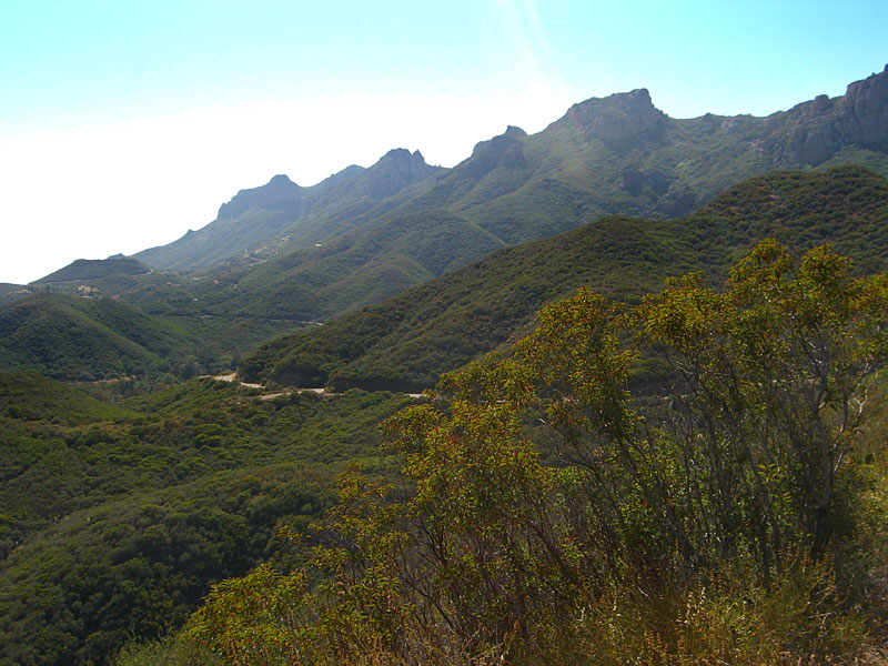
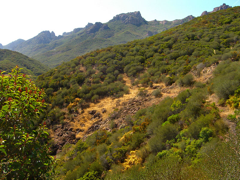 At the Boney Mtn. trailhead parking lot. Last week I hiked up to there to Sandstone Peak via Backbone Trail. |
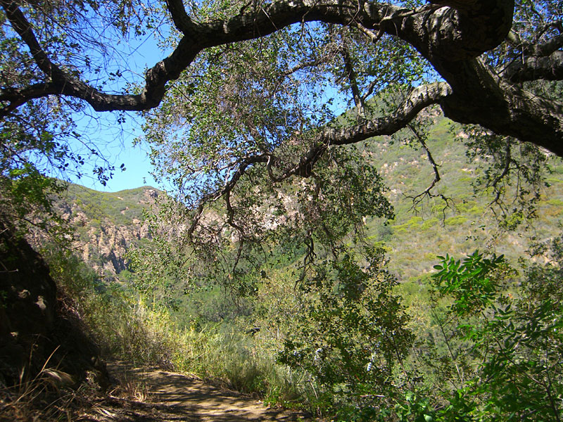
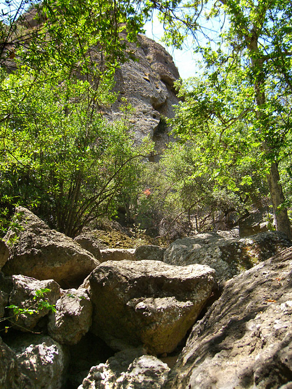
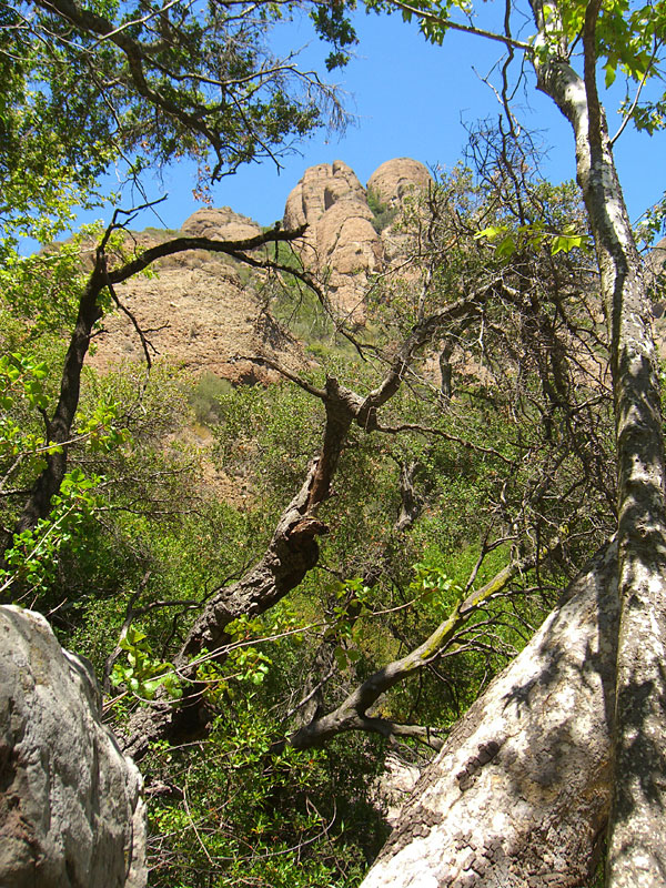
 Today, I'll be following the canyon down from the road. The Grotto starts below that rocky cliff in the center, about 3 miles via twisty trail. |
 |
 |
 |
 |
 In case you're feeling invincible... |
 Lots of shady bowers await |
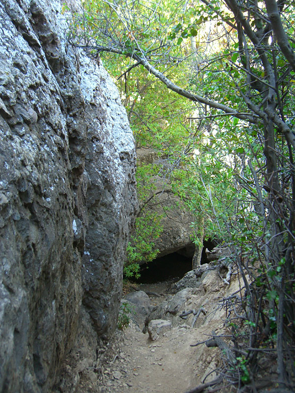 At the Grotto, the trail ends. You reach it by clamboring down steep ruts and over giant boulders. |
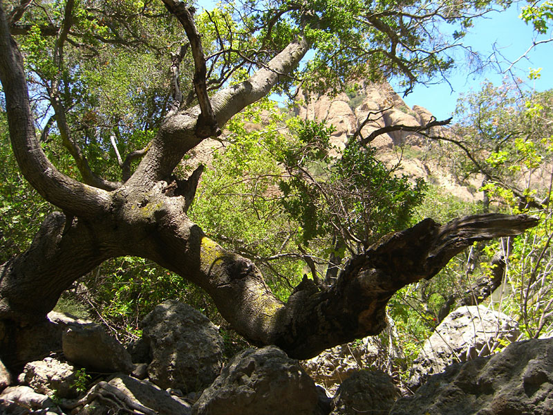 On either side, tall peaks tower above the canyon and ancient trees grow in odd directions. |
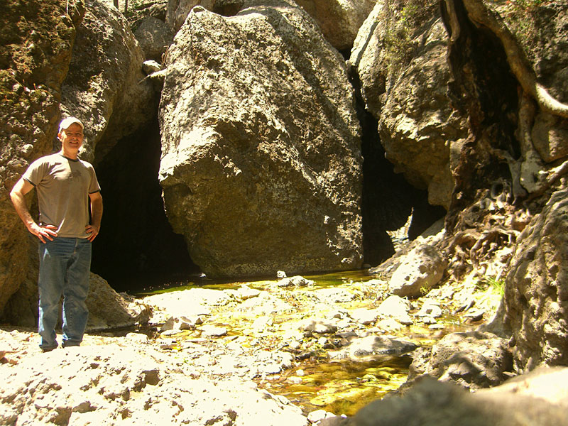
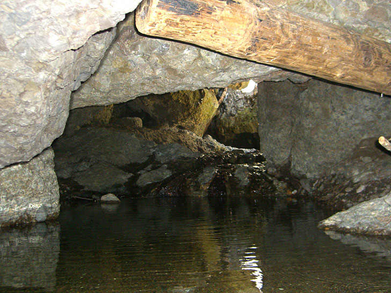
 The main part of the Grotto from below. Theres a guy on top of the rock. |
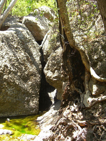
 There are minerals that turn the water bright green in places. |
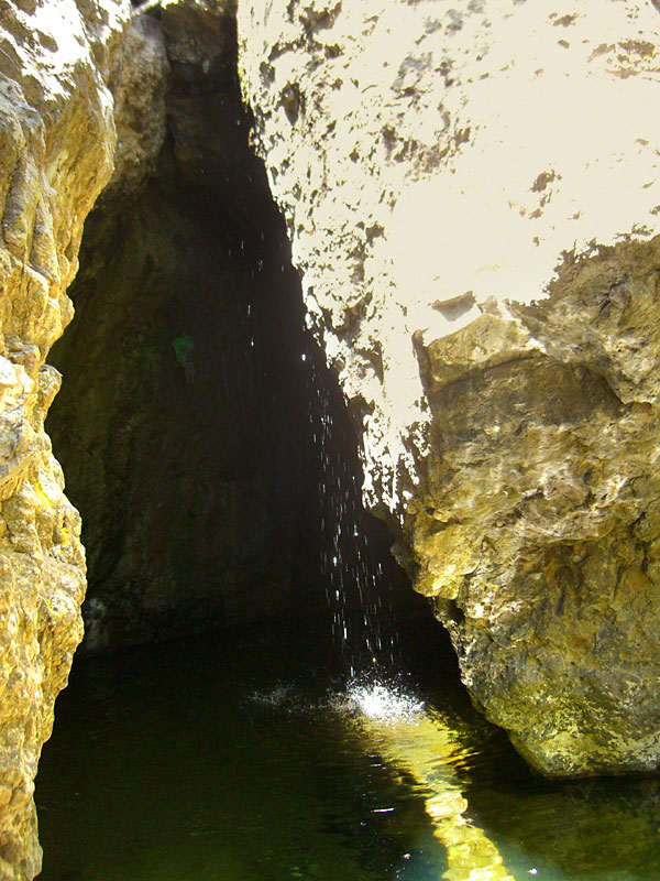 A little waterfall provides the soundtrack. |
 Most streams in So. Cal. are dry this time of year. To see deep pools and hear burbling water is unique. Next time I'll wade through to a hidden place. |
 Torrential winter water twists the trees into tortured shapes. |
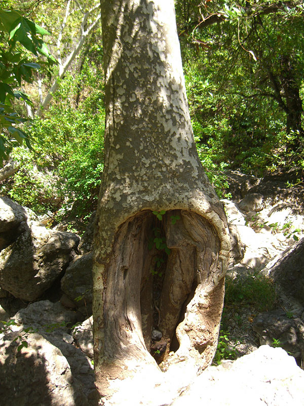 Directly in the middle of the stream, this tree has suffered a lot of abuse by water. There are rocks lodged in the hole. |
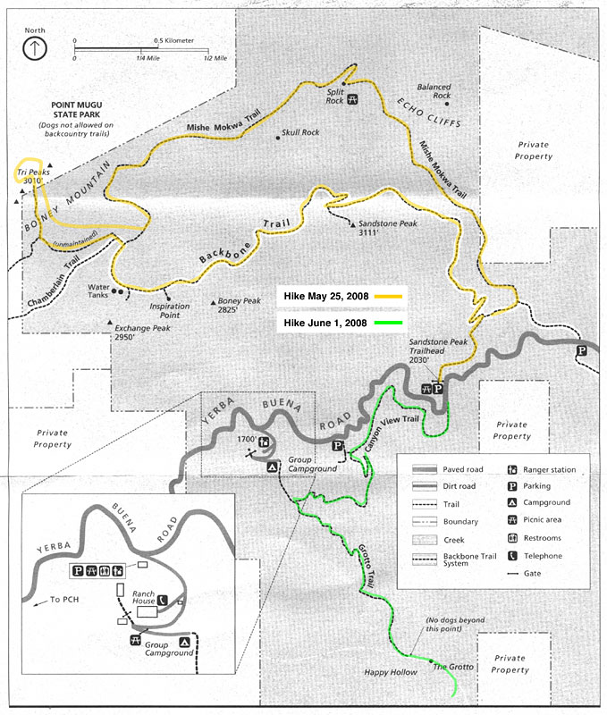
 I hiked a half mile downstream below the Grotto to see what I could see. |
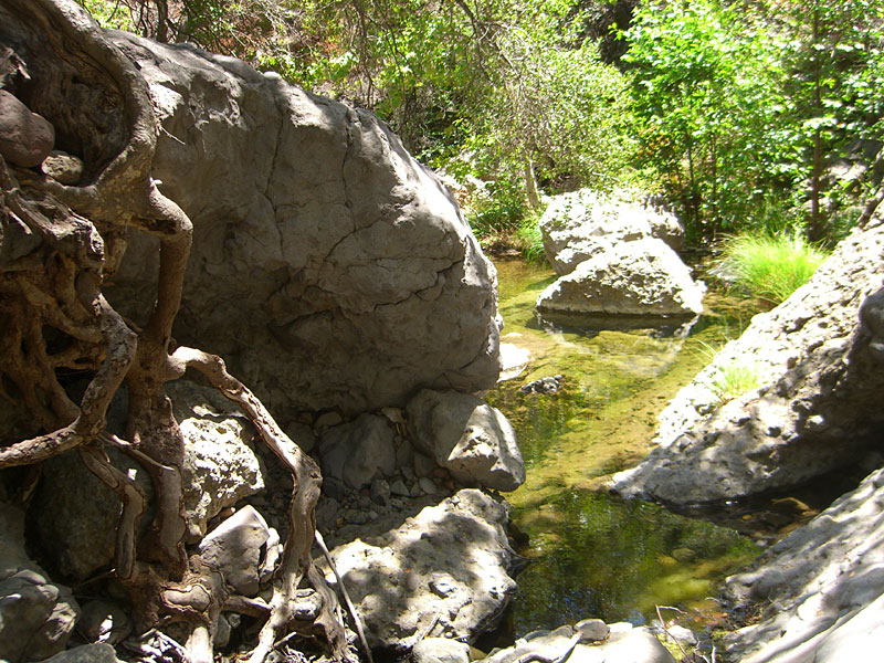 Lots of pools formed where giant boulders rolled down the mountain. Felt like I was the first person ever to see this place. |
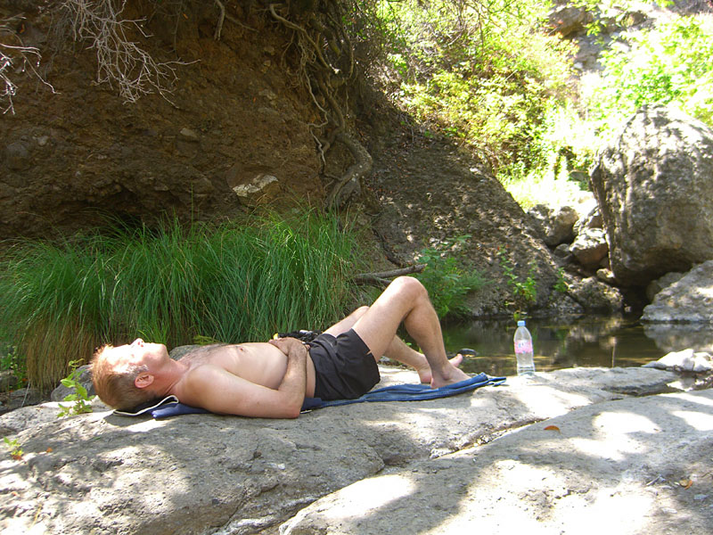 A perfect idyll for the weary - cool breezes, a shady spot by a waterfall, icy mountain water to cool down with. |
 |
 |
 A nice meadow on the trail back. A perfect way to spend four hours. |
 Just another day in Southern California |
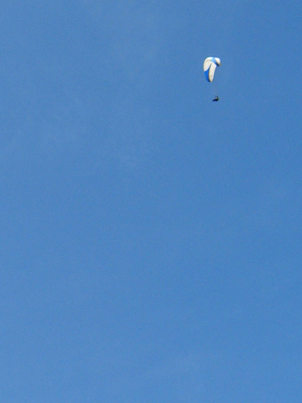 Several paragliders were thermaling. |
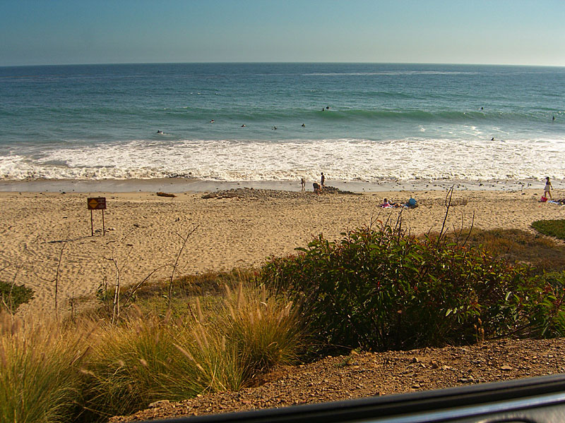 Not ready to go home yet, I drove down the coast, slipped on my blades and hit the beach bike trail for a 12 mile skate. Now I'm tired! |
Since Jan.09
|